Ecosistema digital para enseñar geociencias

Explora cómo integrar videoblogs, mapas interactivos y laboratorios virtuales para transformar tus clases de geociencias en experiencias activas y significativas.

A bright, contemporary workspace with a slim laptop displaying a split screen: on one side a geoscience learning management system with colorful course modules, and on the other an interactive quiz featuring satellite images and geomorphological profiles. Beside the laptop, neatly aligned sticky notes show hand-drawn icons for flipped classroom, project-based learning, and inquiry cycles. A globe with clearly marked tectonic plates and fault lines sits slightly out of focus in the background on a white shelf. Natural daylight streams through a nearby window, casting soft, directional light and gentle shadows, enhancing the crispness of the screen graphics. Shot from a slightly elevated perspective, the composition is balanced and airy, with a professional, optimistic, and innovative mood in a realistic photographic style.
A large curved monitor fills most of the frame, displaying a dynamic dashboard of real-time geoscience data: animated weather fronts, live seismograph traces, and colorful ocean temperature maps. Below the monitor, a compact keyboard, ergonomic mouse, and a small 3D-printed topographic model of a mountain range rest on a matte black desk surface. Ambient blue LED backlighting glows behind the monitor, contrasting with a warm desk lamp that creates gentle highlights on the plastic terrain model. Shot at a low, slightly off-center angle, the composition emphasizes depth, with the digital data drawing the eye. The atmosphere is analytical, data-driven, and futuristic, perfectly suited to showcasing digital tools for teaching Earth systems in a precise, photographic realism.

Servicios

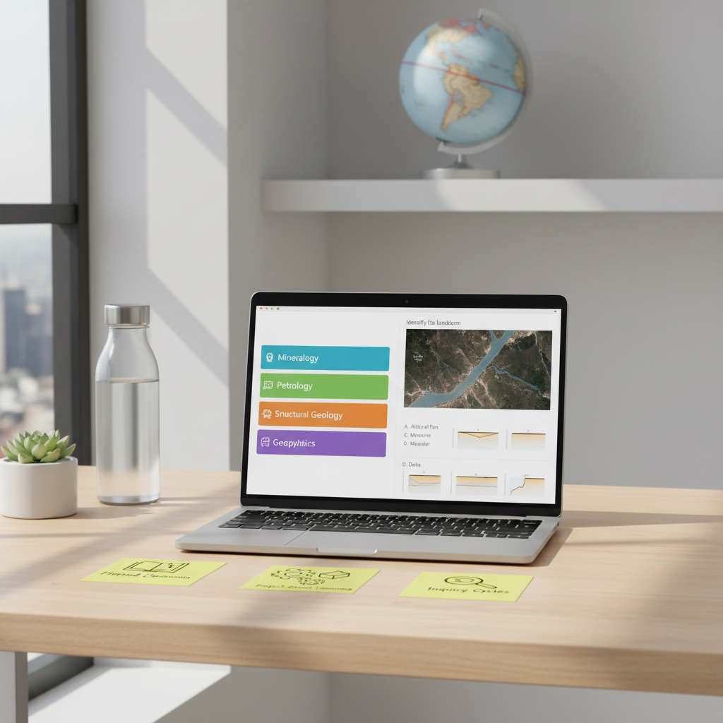
Accede a una selección de Softwares gratuitos para análisis y procesamiento de datos geográficos, simuladores geológicos, elaboración de mapas en línea y guías descargables diseñadas para el aula.

Cada recurso incluye objetivos, nivel educativo sugerido y propuestas de actividades listas para aplicar en tus clases de geociencias.

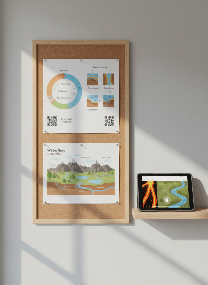
Guías y propuestas didácticas

Aquí encontrarás explicaciones breves, ejemplos contextualizados y plantillas listas para usar, que conectan cada herramienta digital con contenidos clave de geociencias. Ahorra tiempo de planificación y gana en claridad al diseñar actividades más visuales, colaborativas y basadas en problemas reales.

A series of printed, full-color geoscience infographics are neatly pinned to a corkboard mounted on a light gray wall: diagrams of the rock cycle, plate boundaries, and watershed systems, each with QR codes linking to accompanying videoblogs. A tablet on a nearby narrow wooden shelf displays a paused educational video frame of dynamic lava flows and flowing rivers, though no human figures are visible. Soft, even daylight from a side window illuminates the textures of the paper, cork, and wood, casting gentle side shadows. Photographed straight-on with sharp focus across the entire scene, the composition feels organized, didactic, and visually engaging, highlighting the integration of analog visuals and digital media in geoscience education, in clean, realistic photographic style.