A close-up, photographic realism image of a textured geological map spread across a smooth, light-wood table, its surface filled with crisp, color-coded units, faults, and contour lines. A precision metal compass, a transparent plastic ruler with engraved scale, and a rugged field notebook with a worn cover are arranged around the map, all immaculately clean. Gentle, diffused daylight filters from the top right, revealing fine paper fibers and ink details while casting soft, academic shadows. Shot from a slightly elevated angle with shallow depth of field that keeps the central map area sharp and edges softly blurred, the composition feels scholarly and approachable, embodying careful geoscience analysis made understandable for a broad audience.

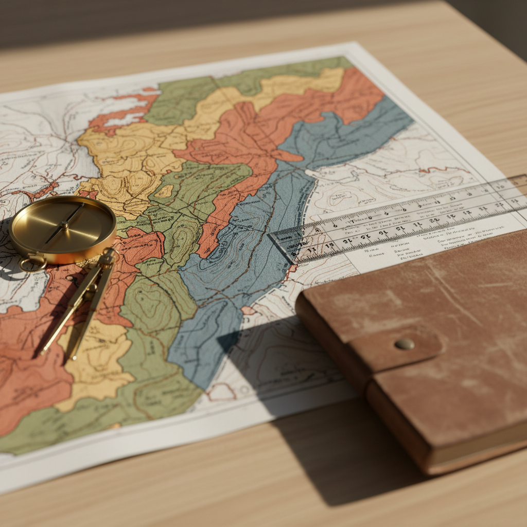
Tu mapa de geociencias digitales

Descubre contenidos geoespaciales breves, claros y entretenidos, conectados desde todas nuestras redes para aprender geografía sin complicaciones.

GeoGente: tu espacio geográfico

GeoGente Online

A photographic realism scene of a large, curved digital screen displaying a vibrant 3D Earth covered with animated weather systems, tectonic plate boundaries, and glowing city lights. The globe appears to float in a dark, minimalist control room with matte black surfaces and subtle blue LED accents along the desk edges. Multiple smaller, ultra-thin monitors show zoomed-in maps, cross-sections of Earth’s interior, and colorful geospatial dashboards. Cool, focused artificial lighting from overhead panels creates a dramatic yet clean atmosphere, with reflections on the glossy screen surfaces. Captured at eye level with the globe centered using rule-of-thirds framing, the mood is professional, high-tech, and immersive, highlighting the power of integrated geospatial information for education and exploration.

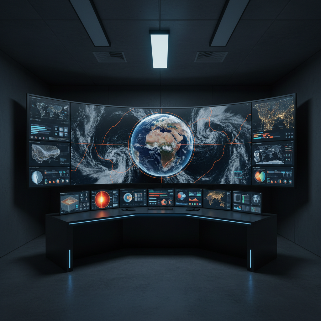
Divulgación geográfica digital

A close-up, photographic realism image of a textured geological map spread across a smooth, light-wood table, its surface filled with crisp, color-coded units, faults, and contour lines. A precision metal compass, a transparent plastic ruler with engraved scale, and a rugged field notebook with a worn cover are arranged around the map, all immaculately clean. Gentle, diffused daylight filters from the top right, revealing fine paper fibers and ink details while casting soft, academic shadows. Shot from a slightly elevated angle with shallow depth of field that keeps the central map area sharp and edges softly blurred, the composition feels scholarly and approachable, embodying careful geoscience analysis made understandable for a broad audience.

Educación geográfica conectada

A photographic realism scene of a large, curved digital screen displaying a vibrant 3D Earth covered with animated weather systems, tectonic plate boundaries, and glowing city lights. The globe appears to float in a dark, minimalist control room with matte black surfaces and subtle blue LED accents along the desk edges. Multiple smaller, ultra-thin monitors show zoomed-in maps, cross-sections of Earth’s interior, and colorful geospatial dashboards. Cool, focused artificial lighting from overhead panels creates a dramatic yet clean atmosphere, with reflections on the glossy screen surfaces. Captured at eye level with the globe centered using rule-of-thirds framing, the mood is professional, high-tech, and immersive, highlighting the power of integrated geospatial information for education and exploration.